Static Map API
What is the Static Map API?
The Static Map API enables you to create, configure, and return a map image that can include custom POI icons, routes, traffic data or polygons.
Get StartedWhat it does
Location, Location, Location
Highlight your retail location at a glance.
Easy Peasy
Add static maps to your page without writing or embedding code.
Customization
Street, aerial, light, dark or hybrid maps — you choose! Add banners to your map to include an additional layer of context.
Plays well with others
Combine with our Icons API and watch your map come to life! Place retina markers, circles, vias and flags to your map and customize the markers to fit your brand or mood.
Key Features:
Detailed Maps
Embed a print-friendly map image that can include custom icons, routes, and more by specifying through a query-string parameter.
Multiple Map Types
The Static Map API supports street, aerial, hybrid, light and dark maps, just like MapQuest.com and our Leaflet Plugins.
Integration
Combine Static Maps with Directions API to automatically retrieve and highlight routes with a simple pass of a sessionID.
Custom POI Icons
Choose the text, color and size of your icons or specify an external url.
Declutter Overlapping POIs
Choose to automatically or manually declutter overlapping POIs for a neat, clean look.
Shape Support
Create custom polylines, polygons and circles with specific colors and fills to highlight an area or route.
Single-line Addresses
Get a static map showing your location with a single-line address -- no latitude or longitude required.
Retina Support
Our higher resolution maps can be used on retina display and print media. Get sharp and crisp text, markers and routes.
Arc Routes
Sometimes driving directions just won’t cut it. Route between two locations using a geodesic route.
How it Looks
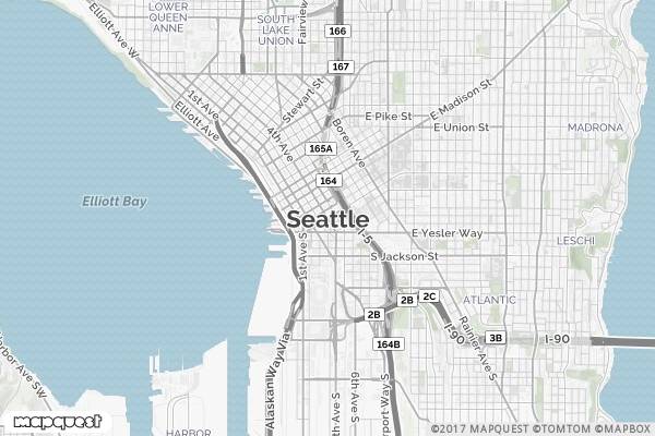
https://www.mapquestapi.com/staticmap/v5/map?key=KEY&size=600,400&zoom=13¢er=Seattle,WA